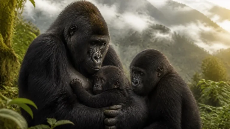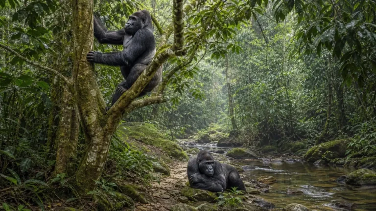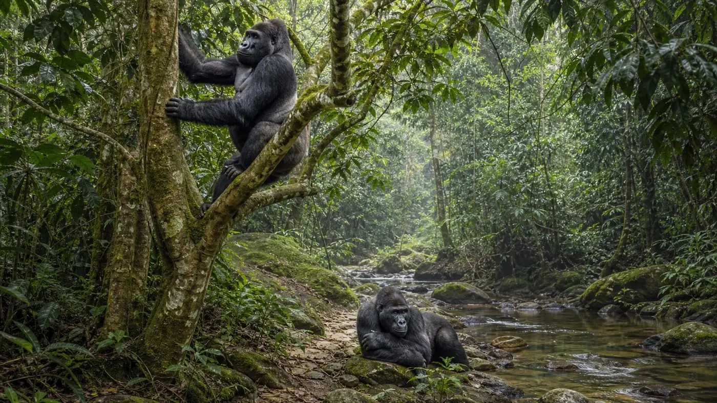
Short answer: Gorilla home-range size varies enormously by taxon, habitat, food distribution, group size and method. Smithsonian cites roughly 14.5–22.5 square kilometres for western lowland groups, but some mountain gorilla ranges are smaller. A home range is an area used over time—not necessarily a defended territory.
Home range versus territory
A territory is actively defended against others. A home range is the area an animal routinely uses for food, rest, nesting and travel. Neighboring gorilla groups can have overlapping home ranges even when they avoid direct encounters.
Why fruit can expand travel
Ripe fruit occurs in scattered trees and changes seasonally. Western lowland groups may travel farther to connect patches. Abundant terrestrial herbs can be more continuously distributed, reducing the distance needed to find a meal.
Group size and competition
More mouths can deplete a patch faster, but a larger group may also possess more social knowledge and defensive capacity. Relationships are not linear. Researchers test group size alongside season, food density and neighboring groups rather than assuming one cause.
Daily travel is not range size
A group might move less than a mile on an ordinary day while using many square kilometres across months. Daily path length, seasonal range and lifetime landscape are different measurements.
How ranges are estimated
- Direct follows and mapped locations
- GPS records from observers
- Nest and feeding-sign surveys
- Camera-trap detections
- Genetic identification from dung
- Statistical utilization distributions
Drawing a line around the outermost points can exaggerate use of unused space. Modern methods estimate a probability surface, showing core areas and occasional excursions.
Why corridors matter
A group’s current core area is not the whole conservation need. Young animals disperse, groups shift and forests respond to climate. Corridors maintain options between habitat blocks, especially for fragmented Cross River and Grauer’s gorilla populations.
Never publish sensitive coordinates
Educational maps should show broad ranges, not fresh nest sites or precise locations that could increase poaching or disturbance. Useful conservation communication balances transparency with wildlife security.